Surveying and Mapping
This online engineering PDH interactive presentation provides a comprehensive overview of surveying and mapping practices used to support transportation project development, from planning and design through construction and long-term asset management.
This course emphasizes Federal Lands Highway (FLH) policies, standards, and procedures that ensure accurate, reliable, and consistent geospatial data throughout the project lifecycle.
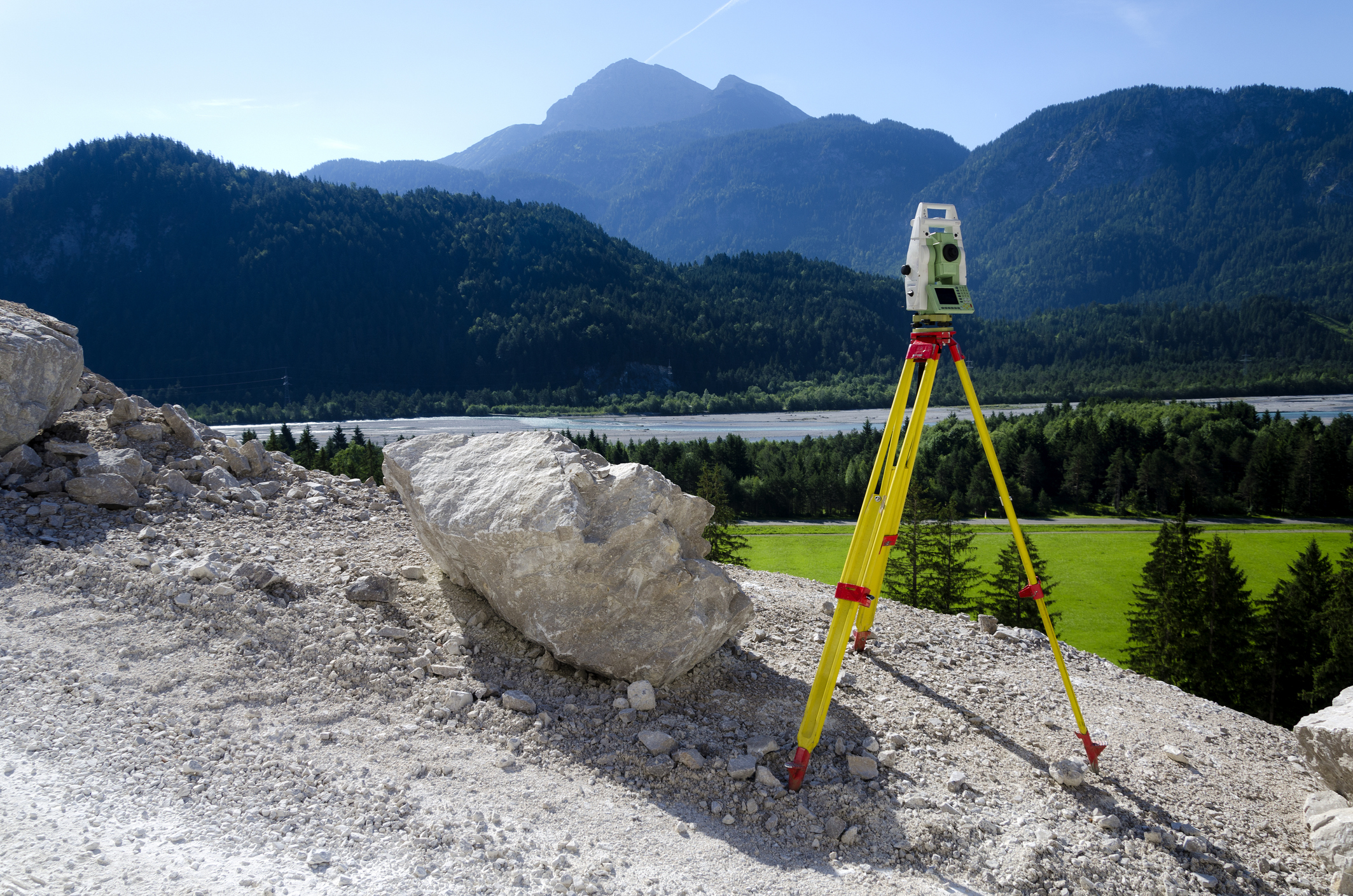
This presentation begins by explaining the fundamental role of surveying and mapping as the link between real-world site conditions and the virtual design environment. It examines survey planning requirements, including horizontal and vertical datums, coordinate systems, projections, and scale factors. Participants will learn about accuracy and precision concepts, error types, control survey classifications, and mapping accuracy standards.
Moreover, this course explores field data collection and processing methods such as GPS/GNSS, conventional leveling, terrestrial surveys, photogrammetry, LiDAR, and unmanned aircraft systems (UAS). It also covers digital terrain modeling (DTM), break lines, floodplain mapping, right-of-way and cadastral surveys, subsurface utility location, and final design surveys. The presentation concludes with guidance on records, reports, metadata standards, and quality documentation necessary for effective data management and project delivery.
This 2 PDH online interactive presentation is designed for surveyors, civil engineers, transportation professionals, consultants, and project managers involved in roadway, infrastructure, and geospatial data collection projects.
This continuing education interactive presentation is intended to provide you with the following specific knowledge and skills:
- To discuss the role of surveying and mapping in supporting transportation project development, including planning, design, construction, and asset management.
- To understand the key principles and techniques of surveying and geospatial data collection used in highway engineering and infrastructure projects.
- To explore the use of control surveys, topographic mapping, LiDAR, GPS/GNSS, and other technologies for accurate data acquisition and referencing.
- To familiarize with the standards and procedures for data management, accuracy classification, quality control, and metadata documentation in transportation surveys.
- To learn about the integration of surveying outputs into project delivery systems such as GIS, CAD, BIM, and digital terrain models.
- To gain insight into the coordination between survey teams, design engineers, and project stakeholders to ensure efficient and consistent survey deliverables.
Upon successful completion of the quiz, print your Certificate of Completion instantly. (Note: if you are paying by check or money order, you will be able to print it after we receive your payment.) For your convenience, we will also email it to you. Please note that you can log in to your account at any time to access and print your Certificate of Completion.