

Soil Survey Manual - Part 4
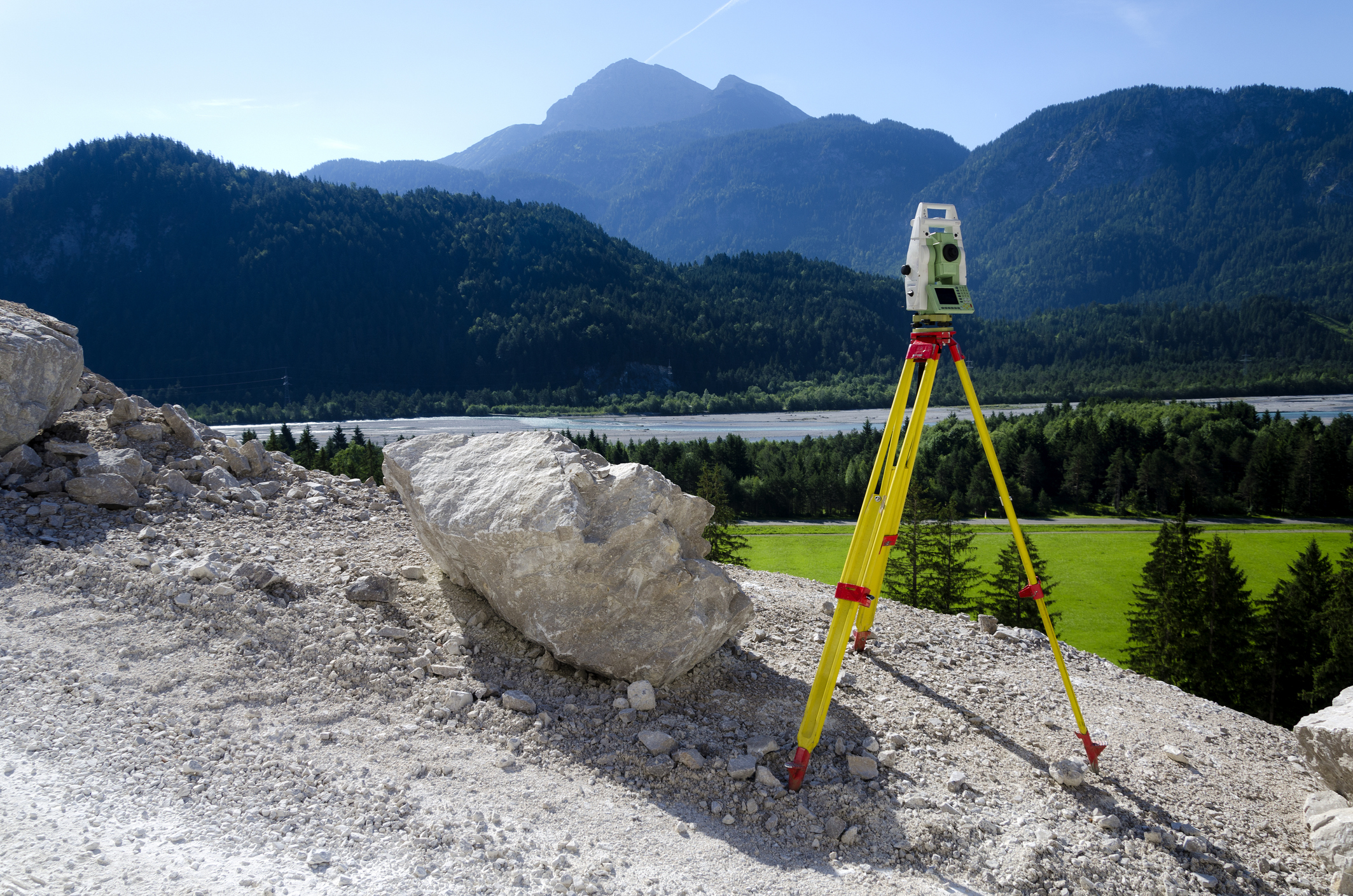
This online engineering PDH interactive presentation covers soil mapping concepts, digital soil mapping, soil sensing, data management, and various types of soils.
This course introduces key concepts in soil mapping, including the mapping process, equipment, soil identification, and classification. It covers digital soil mapping principles like the SCORPAN model and the use of environmental factors to assess soil distribution.
This course also addresses soil interpretations related to land use, including suitability ratings and forecasting soil behavior. Additionally, it highlights dynamic soil properties and their integration into soil surveys, with guidance on project design and data collection. It explores subaqueous soil survey methods and the significance of these soils in various applications, along with the study of human-altered soils.
This 3 PDH online interactive presentation is designed for soil scientists, environmental professionals, and land surveyors, as well as other technical professionals who are interested in soil data for land use and resource management applications.
This continuing education interactive presentation is intended to provide you with the following specific knowledge and skills:
- To understand soil mapping concepts, including soil map units, kinds of map units, and the orders of soil surveys used to guide the intensity and scale of field investigations
- To explain the principles of digital soil mapping, including the SCORPAN model and the use of environmental covariates to predict the spatial distribution of soil properties
- To explore the role of proximal soil sensing technologies and soil survey data management systems in collecting, processing, and disseminating soil survey information
- To examine dynamic soil properties, their importance in reflecting soil health and land management, and the methods used to collect, analyze, and integrate DSP data into soil survey
- To analyze subaqueous soil survey methods, including sampling, description, classification, soil-landscape relationships, and the significance of subaqueous soil information for resource management
- To understand human-altered and human-transported soils, including their identification, classification, occurrence, and the survey methods used to characterize profoundly modified soil landscapes
Upon successful completion of the quiz, print your Certificate of Completion instantly. (Note: if you are paying by check or money order, you will be able to print it after we receive your payment.) For your convenience, we will also email it to you. Please note that you can log in to your account at any time to access and print your Certificate of Completion.