Remote Sensing – Part I
This online engineering PDH interactive presentation provides a comprehensive introduction to remote sensing theory, systems, and applications in engineering, environmental, and civil works projects.
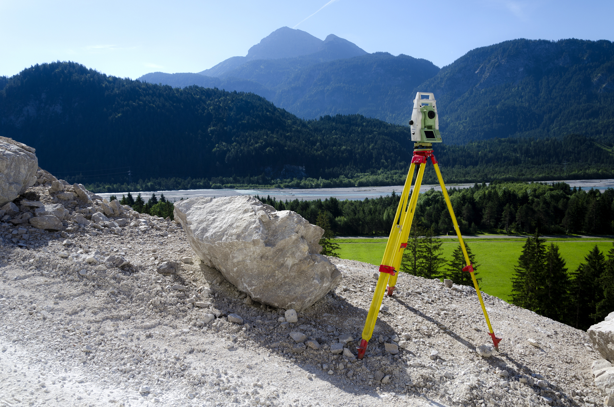
This presentation focuses on the physical principles governing electromagnetic energy, sensor technology, and data interpretation used to observe and analyze the Earth’s surface from ground-based, airborne, and satellite platforms.
This presentation begins by introducing the purpose, scope, and applicability of remote sensing, emphasizing its role as a cost-effective tool for surveying, monitoring, and mapping natural and built environments. It explains the four fundamental components of remote sensing systems, including energy sources, interactions with the atmosphere and surface materials, sensor detection, and data processing.
In addition, this presentation covers the electromagnetic spectrum, wavelength and frequency relationships, atmospheric absorption and scattering, spectral reflectance, and the distinction between passive and active sensing systems such as optical sensors, radar, and LiDAR. The course also explores image formation, radiometric calibration, atmospheric correction techniques, spectral signatures of vegetation, soil, and water, and the evolution of remote sensing technologies from early aerial photography to modern satellite-based Earth observation systems.
This 1 PDH online interactive presentation is designed for engineers, surveyors, environmental scientists, planners, and professionals seeking a foundational understanding of remote sensing principles, data interpretation, and practical applications across a wide range of disciplines.
This continuing education interactive presentation is intended to provide you with the following specific knowledge and skills:
- To discuss the purpose and scope of remote sensing in support of engineering, environmental, and civil works applications.
- To understand the basic principles of remote sensing, including electromagnetic energy behavior and sensor interaction with the Earth’s surface.
- To explore the four fundamental components of remote sensing systems and how they function in capturing and processing data.
- To familiarize with key remote sensing concepts such as spectral reflectance, sensor types, and electromagnetic spectrum regions used for data collection.
- To learn about the evolution of remote sensing technologies, from early aerial photography to modern satellite-based Earth observation systems.
- To gain insights into the future of remote sensing, including emerging sensor technologies and expanding applications across disciplines.
Upon successful completion of the quiz, print your Certificate of Completion instantly. (Note: if you are paying by check or money order, you will be able to print it after we receive your payment.) For your convenience, we will also email it to you. Please note that you can log in to your account at any time to access and print your Certificate of Completion.