

Geoid Monitoring Services for the National Spatial Reference System – Part 1
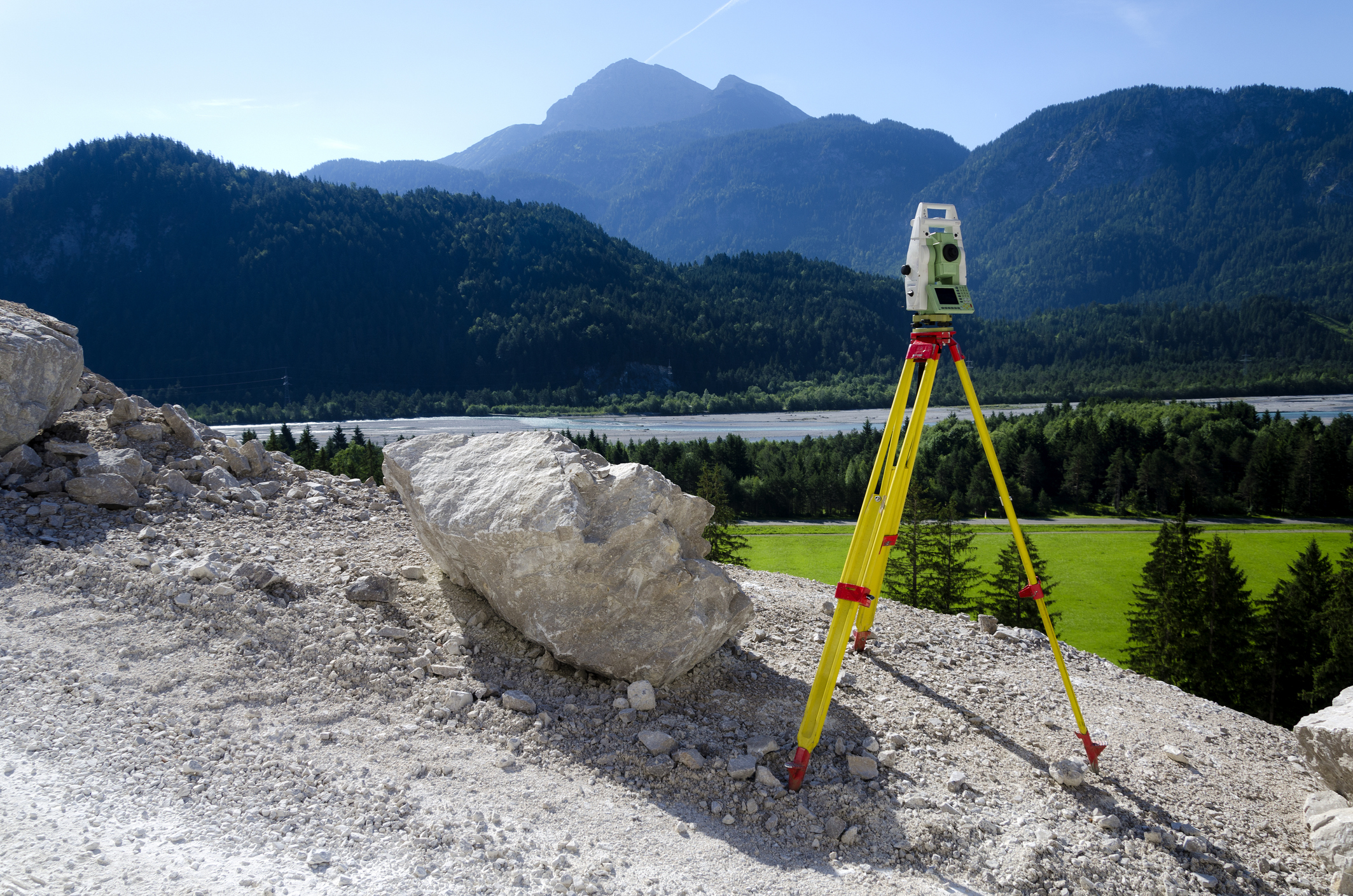
This online engineering PDH interactive presentation is adapted from the NOAA National Geodetic Survey report on its Geoid Monitoring Service (GeMS), which will maintain the time-dependent part of the North American-Pacific Geopotential Datum of 2022 (NAPGD2022).
The course explains why a static geoid is no longer enough, which geophysical phenomena change the shape of the geoid, and the equations that link orthometric height, ellipsoid height, geoid undulation, gravity, and geopotential. It then reviews NGS’s existing monitoring tools: absolute, relative, superconducting, and airborne gravimeters, gravity networks, the NOAA CORS Network, and GPS/leveling campaigns.
This 2 PDH online interactive presentation is designed for civil engineers, land surveyors, and other technical professionals who are interested in geoid monitoring and the modernized National Spatial Reference System.
This continuing education interactive presentation is intended to provide you with the following specific knowledge and skills:
- To understand what the Geoid Monitoring Service (GeMS) is, why a time-dependent geoid is needed, and how it fits into the modernized National Spatial Reference System (NSRS)
- To learn which geophysical phenomena change the shape of the geoid and the metrics used to evaluate geoid monitoring techniques
- To know the relationships between orthometric height, ellipsoid height, geoid undulation, gravity, and geopotential used to determine geoid change
- To become familiar with the absolute, relative, superconducting, and airborne gravimeters and the gravity networks of the NGS Gravity Program
- To gain an overview of how the NOAA CORS Network and GPS/leveling campaigns can support geoid monitoring
Once you finish watching the PDH interactive presentation, you will be redirected to your account to take a multiple-choice quiz consisting of (10) questions to earn 2 PDH credits. The quiz will be based on this interactive presentation.
Upon successful completion of the quiz, print your Certificate of Completion instantly. (Note: if you are paying by check or money order, you will be able to print it after we receive your payment.) For your convenience, we will also email it to you. Please note that you can log in to your account at any time to access and print your Certificate of Completion.