

Control and Topographic Surveying - Part 4
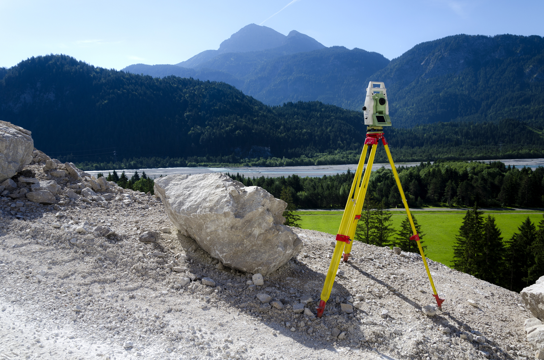
This online engineering PDH interactive presentation focuses on the field procedures, instrumentation, and data management workflows used in modern topographic survey practice.
This presentation begins by introducing total station features, error sources, and field operating procedures, covering radial side shot techniques, trigonometric leveling, traverse methods, and offset measurements. It explains GPS Real-Time Kinematic (RTK) survey methods, including ambiguity resolution, site calibration, geoid modeling, and field data collection checks applicable to topographic and construction control surveys.
Furthermore, it explores terrestrial 3D laser scanner capabilities, accuracy considerations, scan density, and data processing workflows, illustrated through Corps of Engineers project applications at civil and military facilities. The course also examines the transfer of topographic survey data into CADD and GIS platforms, covering data flow, feature coding, attribute assignment, geospatial data definitions, and quality assurance procedures. In addition, it covers survey documentation and submittal requirements, including field note keeping, monument descriptions, final report formats for civil and military projects, and deliverable QA checklists.
This 3 PDH online interactive presentation is designed for engineers, surveyors, and geospatial professionals seeking a practical understanding of total station and GPS RTK survey procedures, 3D laser scanning applications, and digital data processing and documentation requirements for topographic surveys.
This continuing education interactive presentation is intended to provide you with the following specific knowledge and skills:
- To understand the operation, features, and error sources of total stations, and their application in topographic surveys, trigonometric leveling, and traverse techniques
- To explain the principles and field procedures of GPS Real-Time Kinematic (RTK) surveying, including ambiguity resolution, site calibration, and observing standards for topographic and construction control surveys
- To explore the capabilities, accuracy, and data processing procedures of terrestrial 3D laser scanners, and their application on Corps of Engineers civil and military projects
- To examine the methods for transferring topographic survey data into CADD and GIS platforms, including data flow, geospatial data definitions, feature coding, and quality control procedures
- To analyze the requirements for survey documentation and submittals, including field note keeping procedures, monument descriptions, and final survey report formats for civil and military projects
- To understand the deliverable components and quality assurance criteria required for topographic survey project submittals, including coordinate files, design files, metadata, and QA checklists
Upon successful completion of the quiz, print your Certificate of Completion instantly. (Note: if you are paying by check or money order, you will be able to print it after we receive your payment.) For your convenience, we will also email it to you. Please note that you can log in to your account at any time to access and print your Certificate of Completion.