

Control and Topographic Surveying – Part 3
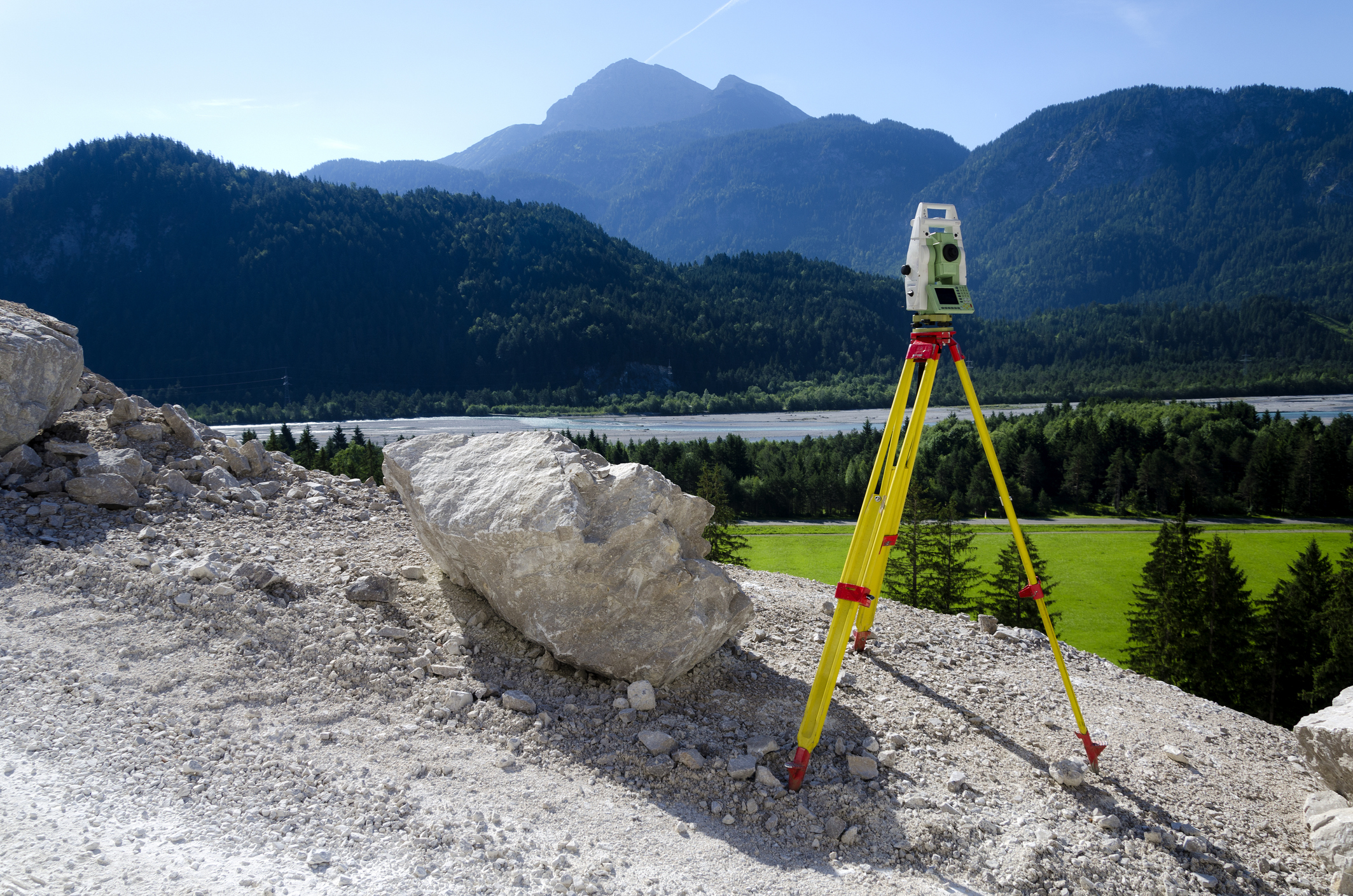
This online engineering PDH interactive presentation focuses on the principles and methodologies required for accurate elevation control and survey execution.
This presentation begins by introducing vertical reference systems, including NGVD 29, NAVD 88, and other vertical datums, emphasizing their role in defining elevation in surveying projects. It explains orthometric elevations and WGS 84 ellipsoidal heights, highlighting their relationship through geoid models and geoid undulations. Participants will explore methods for determining and transforming elevations, including GPS-based techniques, vertical datum transformations, and transition strategies between datums. The course also examines the planning and execution of control and topographic surveys, including project requirements, available data sources, and survey design considerations.
In addition, it covers methods for establishing and extending survey control using NSRS, local control networks, CORS, and OPUS solutions. The use of field data collectors and coordinate geometry (COGO) functions is also discussed, focusing on efficient recording, processing, and computation of survey data in the field.
This 3 PDH online interactive presentation is designed for engineers, surveyors, and geospatial professionals seeking a practical understanding of vertical control systems, elevation determination, and modern survey data collection and processing techniques.
This continuing education interactive presentation is intended to provide you with the following specific knowledge and skills:
- To understand vertical reference systems, including NGVD 29, NAVD 88, and other vertical datums, and their role in defining elevation in surveying projects.
- To explain orthometric elevations, WGS 84 ellipsoidal heights, and their relationship through geoid models and geoid undulations.
- To explore methods for determining and transforming elevations, including GPS-based techniques, vertical datum transformations, and transition strategies between datums.
- To examine the planning and execution of control and topographic surveys, including project requirements, data sources, and survey design considerations.
- To analyze methods for establishing and extending survey control using NSRS, local networks, CORS, and OPUS.
- To understand the role of field data collectors and coordinate geometry (COGO) functions in recording, processing, and computing survey data in the field.
Upon successful completion of the quiz, print your Certificate of Completion instantly. (Note: if you are paying by check or money order, you will be able to print it after we receive your payment.) For your convenience, we will also email it to you. Please note that you can log in to your account at any time to access and print your Certificate of Completion.