

Control and Topographic Surveying – Part 2
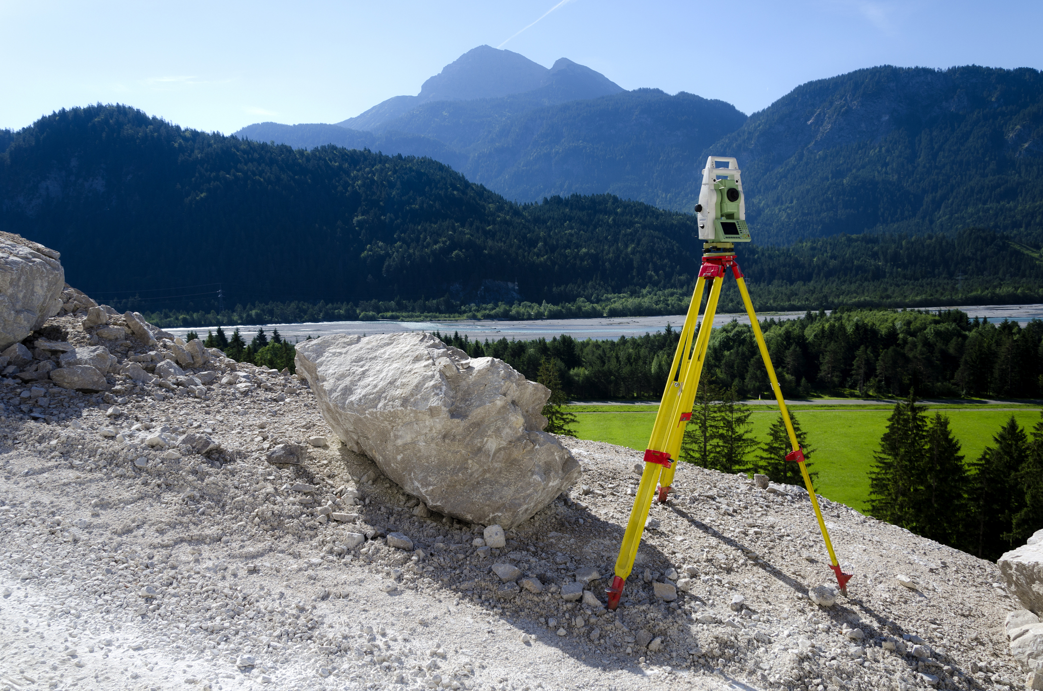
This online engineering PDH interactive presentation emphasizes the techniques and standards required to ensure precision and consistency in modern surveying practices.
This presentation focuses on vertical control survey techniques, specifically second-order and third-order leveling methods for accurate elevation data essential in engineering and construction. It covers the calibration and maintenance of leveling instruments and accessories for reliable measurements. Participants will review survey accuracy standards relevant to engineering, construction, and topographic surveys, including specifications for geodetic control, photogrammetric mapping, cadastral, and hydrographic surveys.
In addition, the course discusses geodetic reference systems, including coordinates, datums, and the WGS 84 ellipsoid. It also covers horizontal coordinate systems such as geographic coordinates, State Plane, and UTM. Essential concepts like scale factors, grid convergence, elevation relationships, and datum transformations between systems like NAD 27 and NAD 83 are addressed.
This 3 PDH online interactive presentation is designed for surveyors, civil engineers, GIS professionals, and infrastructure specialists seeking a deeper understanding of vertical control, survey accuracy, and coordinate reference systems for precise positioning and mapping.
This continuing education interactive presentation is intended to provide you with the following specific knowledge and skills:
- To understand vertical control survey techniques, including second-order and third-order leveling methods, and their role in establishing accurate elevation data.
- To explore the procedures for calibration, adjustment, and maintenance of leveling instruments, rods, and survey accessories to ensure reliable measurements.
- To learn about accuracy standards applied in engineering, construction, and topographic surveys, including specifications for mapping, geospatial products, and control surveys.
- To examine the different categories of survey accuracy standards, such as geodetic control, photogrammetric mapping, cadastral surveys, and hydrographic surveys.
- To familiarize with geodetic reference systems, including geodetic coordinates, datums, and the WGS 84 reference ellipsoid.
- To understand horizontal coordinate systems, including geographic coordinates, State Plane Coordinate Systems, and the Universal Transverse Mercator (UTM) system.
- To gain insights into key concepts such as scale factors, grid convergence, and elevation relationships within coordinate systems.
- To learn about datum transformations and conversions, including the transition between different reference systems such as NAD 27 and NAD 83.
Upon successful completion of the quiz, print your Certificate of Completion instantly. (Note: if you are paying by check or money order, you will be able to print it after we receive your payment.) For your convenience, we will also email it to you. Please note that you can log in to your account at any time to access and print your Certificate of Completion.