

Control and Topographic Surveying – Part 1
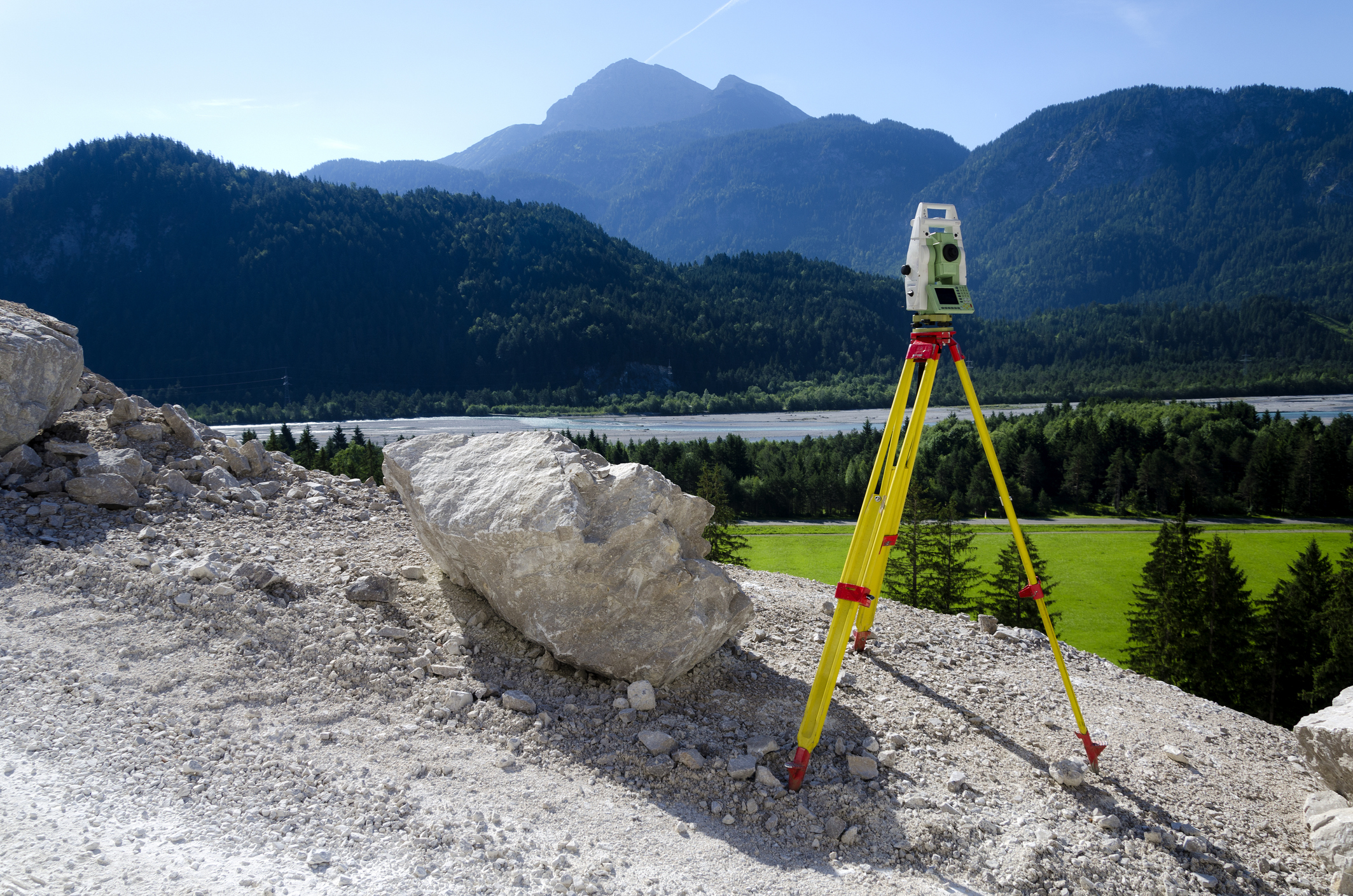
This online engineering PDH interactive presentation presents the fundamental principles and reference systems used to establish accurate survey control and support reliable spatial data collection.
This presentation begins by explaining the purpose and scope of control and topographic surveying and the role of survey control networks in providing consistent horizontal and vertical reference for engineering and mapping activities. It introduces the basic principles of surveying, including measurement concepts, distance and angle determination, and the relationship between horizontal and vertical positioning. Participants will examine the structure and function of survey control networks and how they are established to support accurate positioning and mapping across project areas.
Furthermore, this course also explores coordinate systems, geodetic datums, and reference surfaces used in modern surveying, along with the differences between plane surveying and geodetic surveying and the circumstances in which each approach is applied. Practical applications of control surveys in topographic mapping, infrastructure planning, design development, and construction layout are also discussed.
This 4 PDH online interactive presentation is designed for surveyors, civil engineers, mapping professionals, and infrastructure specialists seeking a foundational understanding of control surveying principles and their role in supporting accurate topographic data and engineering project development.
This continuing education interactive presentation is intended to provide you with the following specific knowledge and skills:
- To discuss the purpose and scope of control and topographic surveying and its importance in engineering, mapping, and construction projects
- To understand the basic principles of surveying, including measurement concepts, reference systems, and the relationship between horizontal and vertical control
- To explore the fundamental components of survey control networks and how they are established to support accurate positioning and mapping
- To familiarize with coordinate systems, datums, and reference surfaces used in geodetic and engineering surveys
- To learn about the differences between plane surveying and geodetic surveying and the situations in which each method is applied
- To gain insights into the role of control surveys in supporting topographic mapping, infrastructure design, and construction layout
Upon successful completion of the quiz, print your Certificate of Completion instantly. (Note: if you are paying by check or money order, you will be able to print it after we receive your payment.) For your convenience, we will also email it to you. Please note that you can log in to your account at any time to access and print your Certificate of Completion.