

Best Practices In Hydrographic Surveying – Part 1
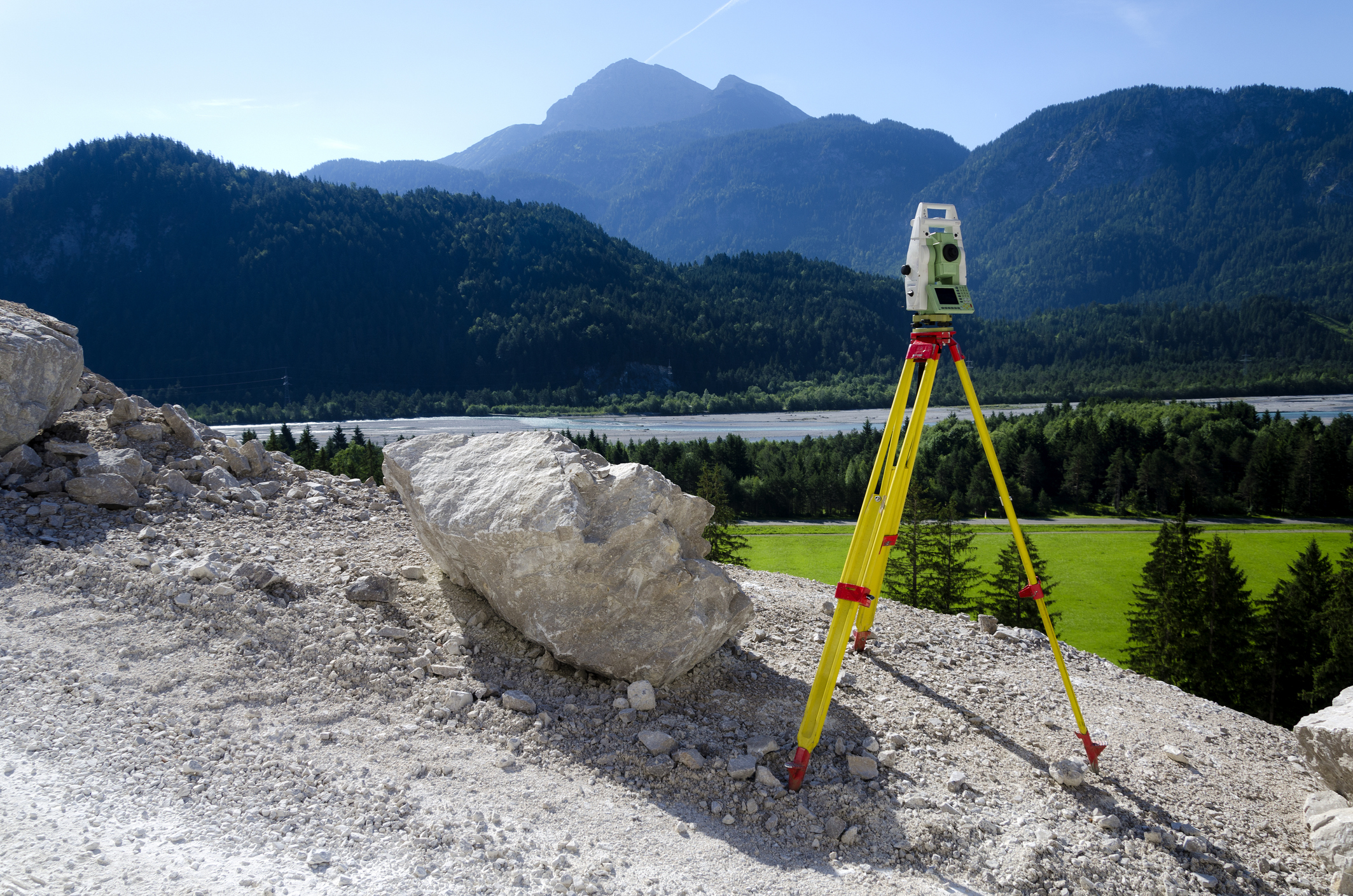
This online engineering PDH interactive presentation covers the field equipment protocols, acoustic measurement principles, and spatial data post-processing workflows for hydrographic and bathymetric surveying.
This course evaluates Real-Time Kinematic (RTK) GPS positioning and Real-Time Network (RTN) Virtual Reference Station (VRS) architecture, detailing base-rover radio links, cellular data streaming, and NOAA OPUS satellite orbit corrections. It examines robotic total station setup and laser scanning capabilities for narrow-canyon topobathymetry where satellite signals are obstructed, highlighting atmospheric refraction compensations and 3D point cloud extraction.
This course also single-beam echosounder deployment using the SonarMite system—focusing on speed-of-sound water column calibrations, transducer draft offsets, and QA/QC probing rod verifications.
This 2 PDH online interactive presentation is designed for hydrographic surveyors, civil engineers, and land surveyors, as well as other technical professionals who are interested in hydrographic surveying.
This continuing education interactive presentation is intended to provide you with the following specific knowledge and skills:
- To understand the purpose and scope of the equipment and procedures used in hydrographic surveying.
- To learn how to set up and operate Real-Time Kinematic Global Positioning System base stations and rovers, including radio setup and data processing.
- To learn how Real-Time Network surveying is planned, carried out in the field, and post-processed.
- To know how robotic total stations are set up and used to collect topographic, scan, and panoramic data, and how the data are post-processed and exported.
- To become familiar with single beam depth sounding using the SonarMite, including setup, quality assurance, troubleshooting, and data processing.
- To gain an overview of multibeam surveying, including swath coverage, system components, calibration, and the data editing workflow in the MBMAX64 editor.
Upon successful completion of the quiz, print your Certificate of Completion instantly. (Note: if you are paying by check or money order, you will be able to print it after we receive your payment.) For your convenience, we will also email it to you. Please note that you can log in to your account at any time to access and print your Certificate of Completion.