

Use of Geospatial Data in Sea Level Change Mapping - Part 2
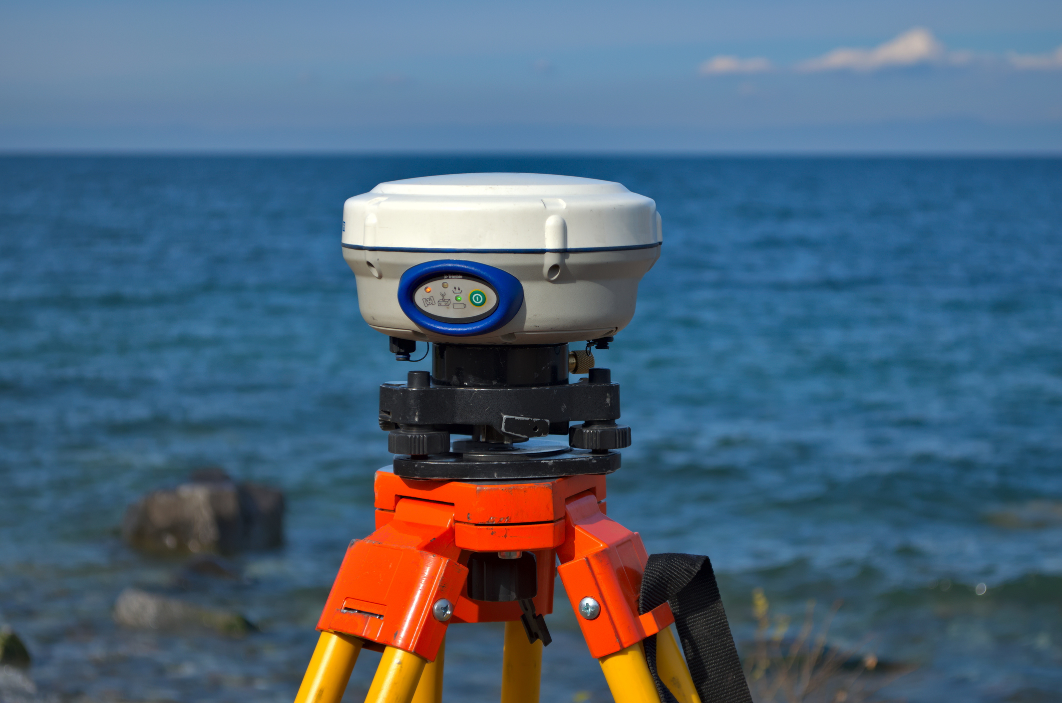
This online land surveying PDH course addresses the functional utilization of geospatial data for long-range coastal planning and sea level change (SLC) assessment.
This course demonstrates the construction of high-resolution inundation products by merging Digital Elevation Models (DEMs) with climate-model scenarios to estimate socioeconomic consequences and potential housing loss. It examines the mechanics of ecosystem modeling, specifically predicting marsh migration and wetland loss through simulators like SLAMM.
Moreover, this course explores empirical case studies from California, North Carolina, and Florida to illustrate the development of regionally consistent mapping criteria and the technical management of water-level anomalies. By characterizing the relationship between long-term trends and episodic extreme events, the course material provides a robust framework for communicating risk via both simple and complex GIS-based visualizations.
This 3 PDH online course is applicable to civil engineers, surveyors, as well as other technical professionals who are interested in learning more about the practical applications of sea level change mapping and case study analysis.
This PLS continuing education course is intended to provide you with the following specific knowledge and skills:
- Evaluating international and local SLC projections to select relevant increments for 20- to 75-year planning horizons
- Coordinating disparate elevation and depth datasets onto a unified vertical datum, such as NAVD 88 or MLLW, to prevent analysis bias at the land-water interface
- Modeling potential geomorphological responses to rising sea levels, including shoreline retreat, overwash, and island breaching
- Developing cartographic SLC visualizations by executing GIS workflows for both single-value "bathtub" surfaces and gridded model interpolations
- Integrating sea level rise data with storm-surge models to evaluate the composite risk of episodic flooding during hurricanes and tsunamis
- Validating inundation mapping accuracy by quantifying vertical root mean square error (RMSE) and identifying spatial "zones of high uncertainty"
Upon successful completion of the quiz, print your Certificate of Completion instantly. (Note: if you are paying by check or money order, you will be able to print it after we receive your payment.) For your convenience, we will also email it to you. Please note that you can log in to your account at any time to access and print your Certificate of Completion.